
Project Description: 257 Acre Contour & Boundary Survey – Ooty
Project Name: 257 Acre Contour & Boundary Survey
Client: Private Property Owner
Location: Ooty, Tamil Nadu, India
Project Overview:
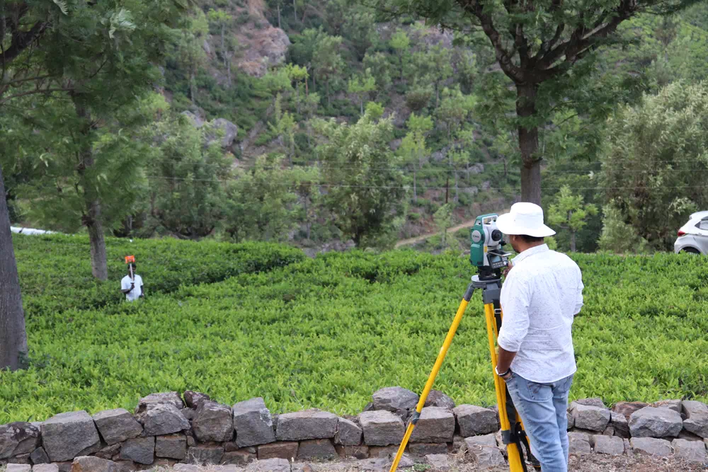
Kongunadu Surveyors were engaged to conduct a comprehensive contour and boundary survey for a private 257-acre property in Ooty. The project involved mapping the land’s topography and establishing accurate boundary lines to assist in the planning and development of the property. This survey provided essential information for future land use, ensuring proper land division and preparation for any potential construction or agricultural activities.
Scope of Work:
- Contour Survey: Conducting a detailed contour survey to map the land’s natural slopes and elevations, assisting with effective planning for development or farming.
- Boundary Survey: Precisely marking and documenting the property boundaries to ensure accurate land division and legal clarity.
- Land Use Assessment: Identifying areas within the property best suited for development or preservation based on the topographical survey data.
- Collaboration with Property Owner: Providing insights and recommendations to the property owner for future land utilization.

Outcome:
The successful completion of the contour and boundary survey provided the property owner with a clear understanding of their land’s topography and legal boundaries. Kongunadu Surveyors helped set the foundation for future development plans, ensuring all necessary details were captured with precision.