
Topographic Survey
The land survey that locates all-natural, man-made, and topographical features on a piece of property such as elevations of land, trees, buildings, roads, streets, fences, land contours, manholes, trees, rivers, streams, and many more is called a topographic survey.

Boundary Survey
A licensed Professional Land Surveyor establishes the corners of a piece of land as per the legal description. At Kongunadu Surveyor, we execute boundary surveys before buying, dividing, improving, or building on land and also identify boundary lines for the construction of fences, driveways, buildings, etc.

Interior Survey
KONGUNADU SURVEYOR is one of the topmost interior design survey companies in Coimbatore which caters to the process of visualizing, taking measurements and pictures of the space to be designed and discover the unexpected elements of architecture hidden inside.
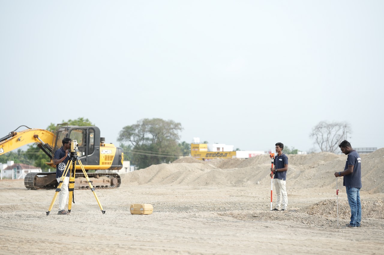
Setting-out Survey
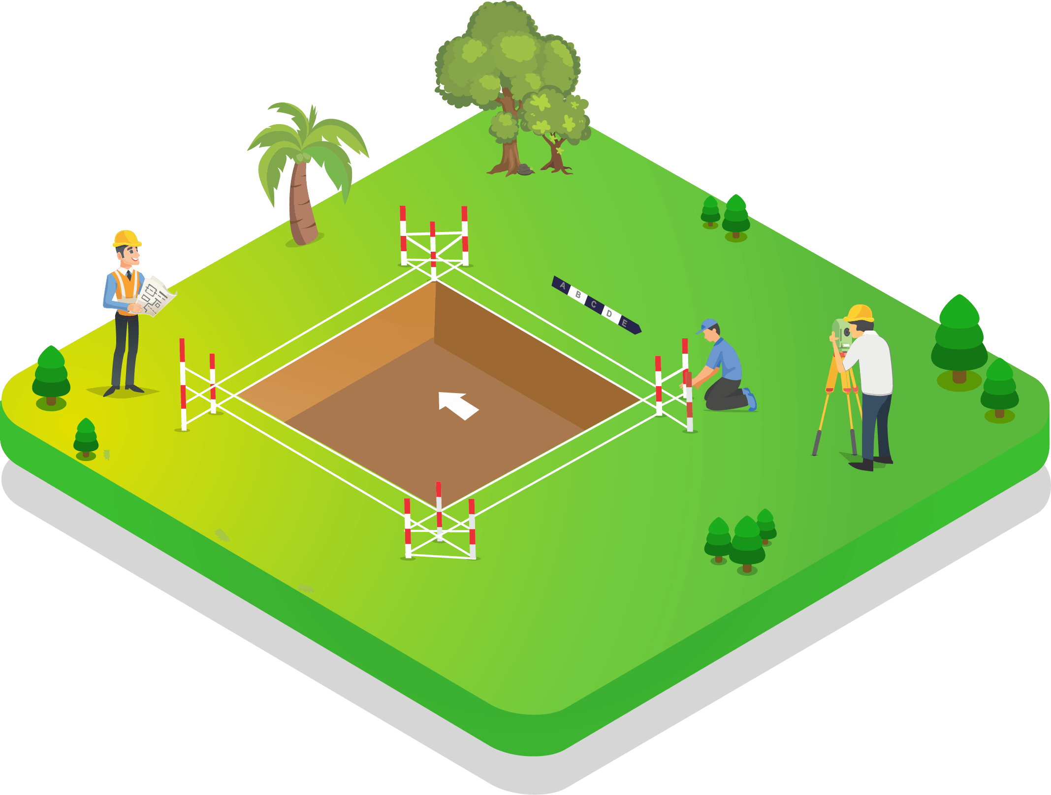
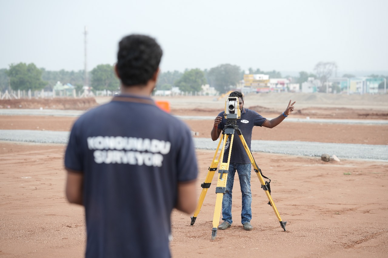
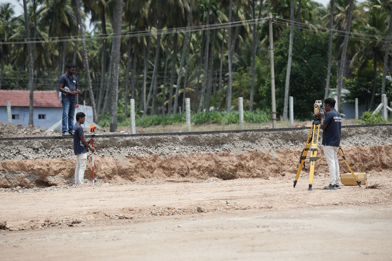
Setting out survey is done competently by KONGUNADU SURVEYOR at Coimbatore by the practice of physically transferring the position of buildings, roads, drainages, and all engineering design onto the actual ground or site by clearly defining the outline of the excavation

DGPS Survey
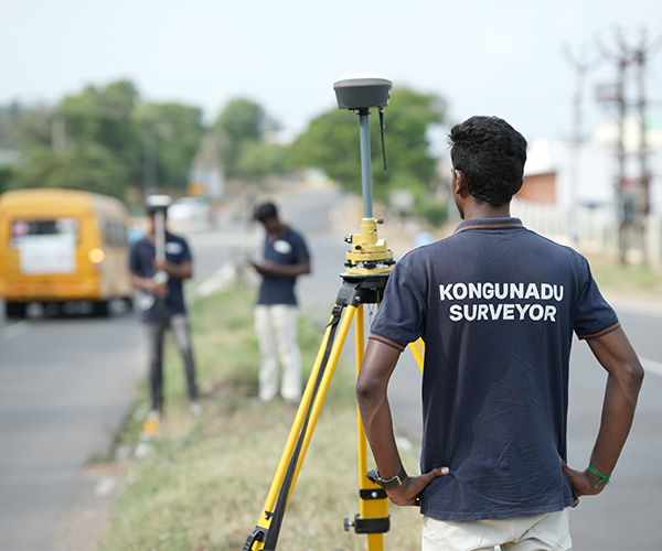
Our DGPS survey services in Coimbatore use a network of fixed ground-based reference stations to transmit the difference between the GPS satellite system and known fixed positions. The digital correction signal is broadcasted in the nearby vicinity by ground-based transmitters of a shorter range.
Subdivision and Layout Design Survey
we analyze the area based on population growth, family size, income levels, schools, taxes and assessments, transportation and traffic patterns, and direction of growth. For large areas Involving several types of housing, commercial or industrial uses, schools, and religious places

Control Network Establishment
A control network is the framework of survey stations which serve as the reference monuments, to which other survey work is related. It is a wonder to know how a control network gets started. How would the first position be measured, if positions are measured relative to other positions?

Master Planning Support Survey
The purpose of Survey and Planning services in Coimbatore is to better serve and accommodate the needs of local habitats, businesses, and visitors to the city. Generally, Master Planning service surveyors prepare a master plan as a mechanism to work out land and infrastructure specifications for diverse urban and rural uses.

Alignment Planning Survey
To do a rough survey, the Alignment Planning Survey services team in Coimbatore heads to the area under study with the minor surveying instruments like Abney level, Tangent Clinometer, etc. and then later it is surveyed in detail using some advanced instruments like levels, chain, and theodolite and Aerial Photogrammetry.
Leveling Survey
Leveling is a surveying method to assess the elevation between two points on the surface of the earth. As the earth is an oblique spheroid, the level surface will always be curved and not a plane one. The concept of leveling deals with the measurement of a vertical plane compared to a horizontal line of sight and is highly useful in the railways, and highways sector.
Earth Work Volume Calculation
The earth has to be undoubtedly moved for developing any piece of property. Engineering processes like cutting, breaking, loosening, removing, or handling batches of soil or rocks are called earthworks and are usually done for the construction of bridges, homes, roads, and dams.